Where are the weeds?
Map candidate patches, density and confidence so people can target inspection and verification.
 Discuss a controlled trial ↗
Tropos Analytics · controlled trials
AgriSense™ connects aerial signals, field truth and human-reviewed plans: helping farmers, land managers and agronomists build a clearer evidence chain from observation to intervention.
 Controlled trials
Built around land-based decisions
AgriSense™ is not an automatic instruction engine. It is being developed to make crop, weed and treatment evidence easier to inspect, verify and use in an accountable workflow.
Map candidate patches, density and confidence so people can target inspection and verification.
Prepare reviewed zones for spot or variable-rate treatment, subject to agronomic approval.
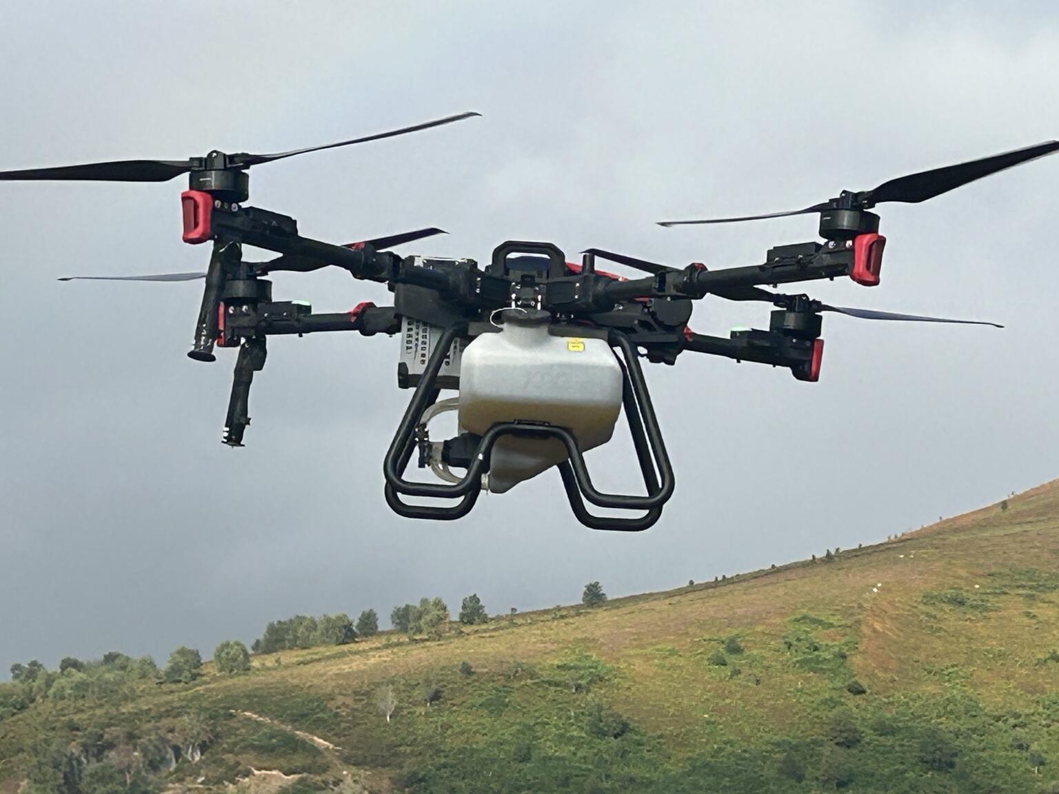
Explore aerial broadcasting where wet ground, steep terrain or standing crops constrain conventional machinery.
Connect the approved intention with application evidence, observations and later assessment.
A governed evidence chain
Each stage keeps the source, version, limitations and responsible people visible. Analytical output supports decisions; it does not make them.
Developing capability
The programme connects interpretation with the tools and accountable processes already used on the farm.
Weed and crop evidence
Candidate weed detection, crop context, patch and density mapping, confidence-aware review and field validation.
Prescription support
Versioned treatment zones, exclusions, proposed rates and export into compatible precision-farming workflows after review.
Aerial establishment
Cover-crop broadcasting into standing crops and establishment work where wet or steep ground restricts traditional methods when conditions and authority permit.
Treatment assurance
Developing workflows for execution evidence, coverage, interruptions, exceptions, operator declarations and later outcome assessment.
Interoperability
Reviewed prescription maps and zones are intended for compatible land-based vehicles, application controllers and farm-mapping systems. Format, coordinate system and machine compatibility must be checked before use.
Practical experience, reported honestly
Tropos has practical drone-application experience across agricultural and environmental settings. These records help define better trials, but observations are not presented as proof of causation or validated product outcomes.
The next step is repeatable trial design: clear baseline, comparison evidence, permissions, measures and an agreed route for reporting positive, negative or inconclusive findings.
Evidence and human authority
AgriSense™ should expose where evidence came from, how current it is, what it covers and where uncertainty remains. Farmers, agronomists, operators and other authorised people retain responsibility for legal, agronomic, safety and operational decisions.
Start with a testable question
We welcome conversations with farmers, land managers, agronomists and research partners about carefully governed controlled trials.
Discuss an AgriSense™ trial ↗