Turning complex landscapes into confident, accountable decisions.
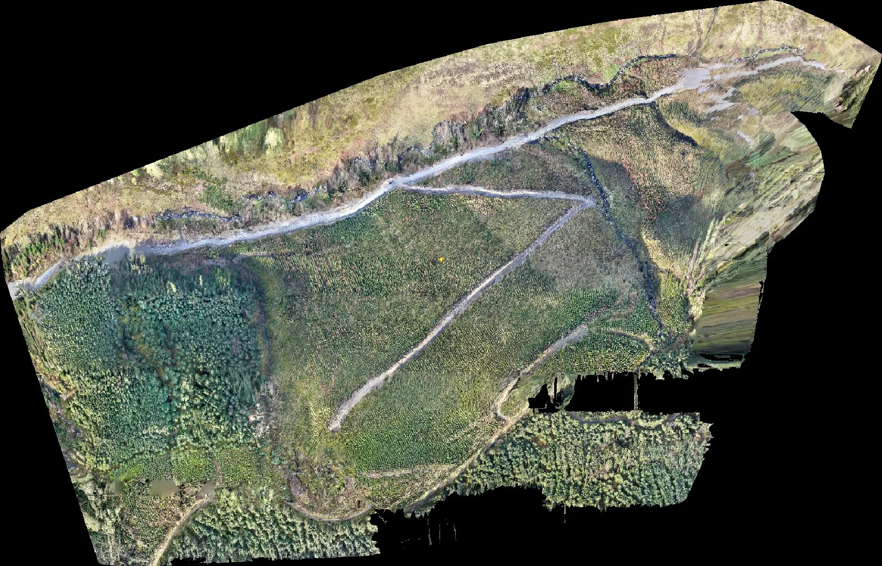
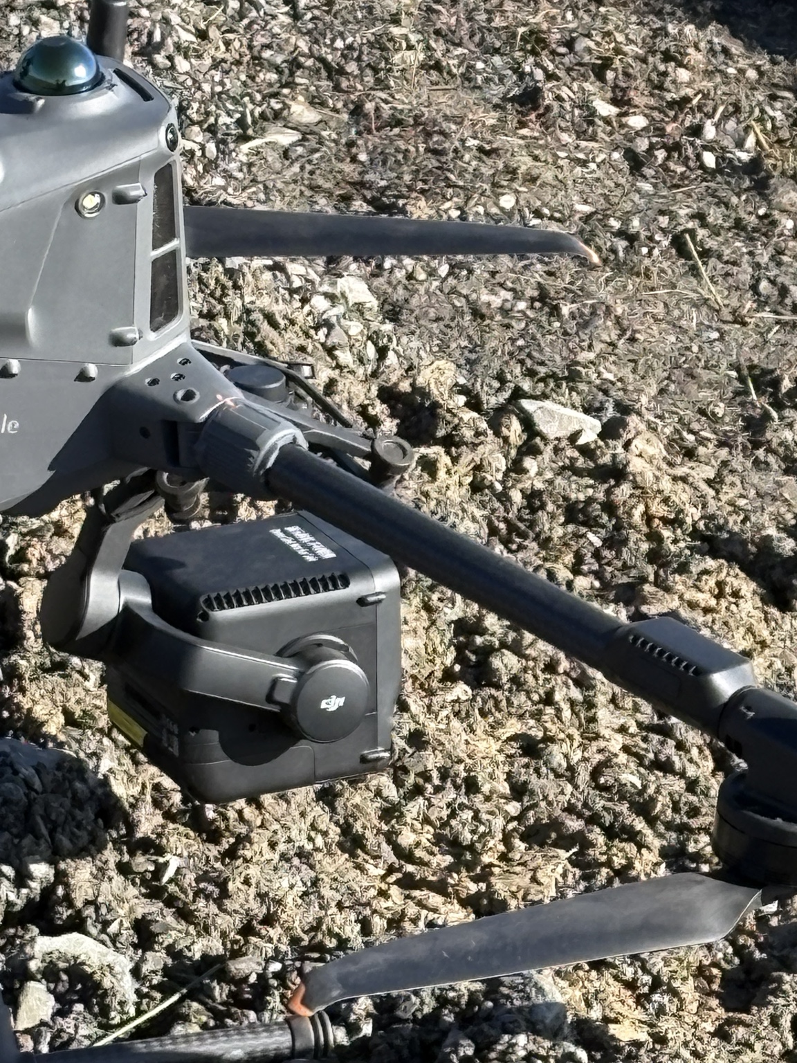
Tropos helps forestry teams turn drone imagery and field checks into clear maps of what is establishing, where stocking is uneven and where somebody needs to look closer. SilvaSense™ leads our work today. AgriSense™ and Operations™ are growing from the same practical, evidence-first approach.
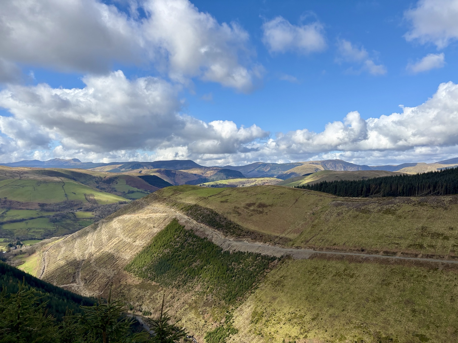
Welsh forestry and agricultural landscape · Tropos field imagery
Built in Wales · Designed for UK landscapes One evidence chain · several programmes
Start with the land, not the software
Same evidence spine. Different landscapes.
Pick the programme closest to the decision you need to make. SilvaSense™ is our flagship; AgriSense™ and Operations™ & Field™ follow the same evidence-led approach at their current stage of development.
Flagship · ForestryCommercial validation
See what is establishing and where to look closer.
SilvaSense™ turns drone imagery, site boundaries and field checks into mapped tree detections, stocking information and evidence that can be reviewed, reported and taken into existing GIS workflows.
AgriSense™ is developing a clearer picture of crops, weeds and field conditions, with reviewed treatment or broadcasting plans that can move into compatible precision-farming workflows.
Locate weed patches
Prepare reviewed prescription maps
Export for compatible ground machinery and controllers
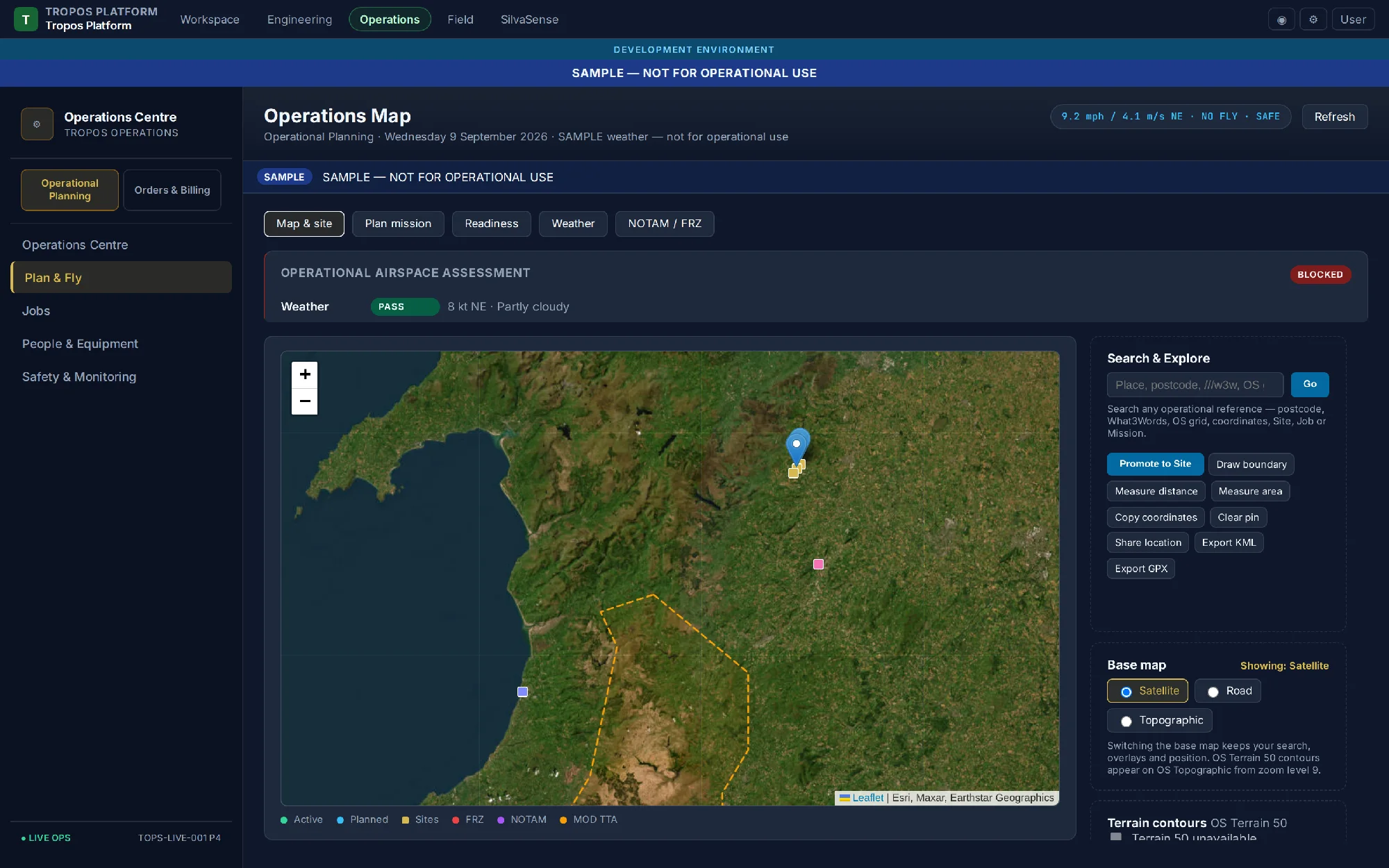
Operations™ and Field™ are building a safety-first planning and field-evidence loop so operational context, provenance and human go/no-go authority stay visible.
Bring the decision, the landscape and whatever evidence you already have.
We do not need a perfect brief. Site context, current imagery, the question you need answered and your timescale are enough to start a serious conversation.
Technology shaped by evidence and the people who use it.
Tropos Analytics is an independent Welsh environmental technology company bringing together practical drone work, field evidence, machine learning and software engineering.
We build in Wales for landscapes across the UK. We test carefully, show the limits of the evidence and do not claim more than the work can support. Our core website is also available in Welsh.